|
| |
NEWSLETTER JANUARY 2015 |
6th of January 2015 |
|
  
International -------------------------------------------------------------------------------------------
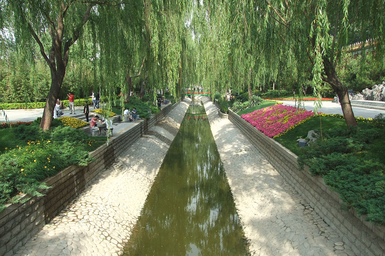
The Beijing Park and Forest Bureau (BPFB) chooses imajing® technologies
The Beijing Park and Forest Bureau (BPFP) is responsible of city park and forest management in Beijing.
Its activities are strongly related to city maintenance operations and human environment management.
Besides the high speed development of the city, acceleration of its integration and building construction, it is very challenging to plan, design, build and daily maintain modern city parks.
The BPFB finally chose imajing® technology through a long-term market investigation and comparison. The technical director of the BPFB testifies « imajing’s field reality mappers and GIS technology will be highly valuable in nursery-grown plant management, grassland management, scenery park planning and designing ».
The BPFP wondered how combine positioning technology with park information collection and real view, to provide support for planning and designing. To answer this problematic, the organization and its information suppliers compared all the technologies, to finally choose imajing®products.
« imajing® enables to rapidly collect information, update data on time and needs with a low-cost solution. With imajbox® mobile mapping technology , we can achieve positioning and real view of nursery-plant and grass land. This information is highly valuable to us », says a BPFB partner.
|
|
|
|
International ----------------------------------------------------------------------------------------
imajing® is taking more steps towards the South American market
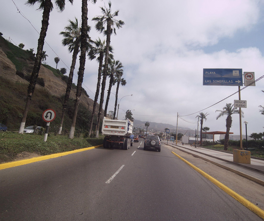
After having equipped Chile in early 2014, imajing continues convincing South American companies with imajbox tool chain, for road network condition asssessment and asset inventory.
In Peru, answering the Ministry of Transport needs, imajbox has been used to map the entire road network of Cuzco region, representing more than 10,000 km. Meanwhile, companies in Colombia are newly equipped and discover the flexibility of imajbox, which will be used for multi-thematic projects.
The South American market welcomes the simplicity and efficiency of imajing mobile mapping technologies, pretty well suited fot the scale of Latin America needs.
|
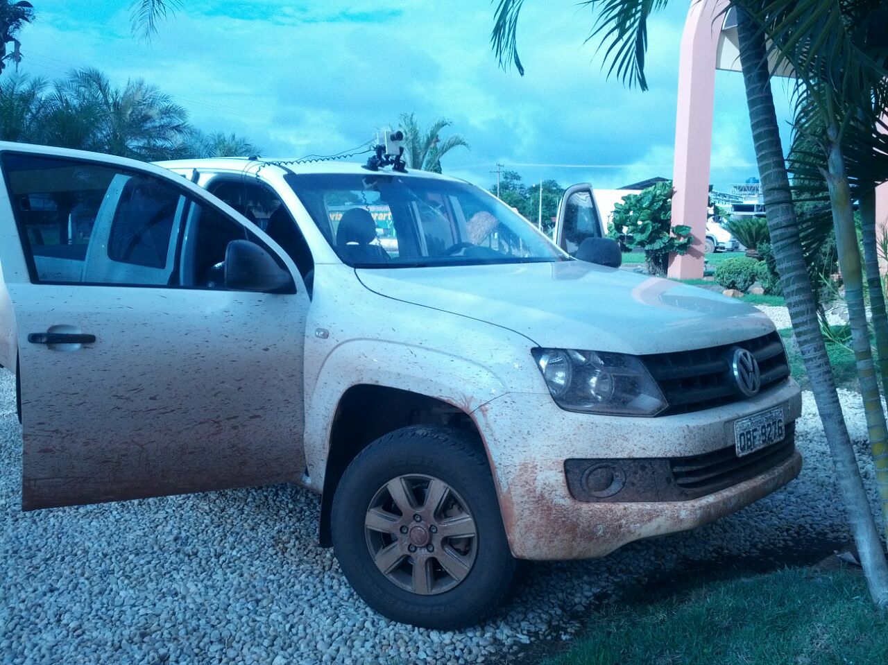
Continuing developing business in Brazil after MundoGeo#Connect2014 trade show, imajing has been having an official representative since July 2014. Quentin Scornet, located in São Paulo, is building a strong network around transportation infrastructures managers. « There is huge potential in Brazil, organizations welcome imajing technology which offers an alternative to costly and heavy equipments not always adapted to rough conditions » Mr Scornet explains, « We have many prospects in the railways and roadways environnement, there are very good pronostics for making valuable deals in 2015 ».
Starting in Brazil, imajing is strongly involved in giving access to mobile mapping technologies. Due to public budget reductions, organizations consider with high interest imajing tool chain which offers exceptional value for money.
|
|
|
Event -----------------------------------------------------------------------------------------------
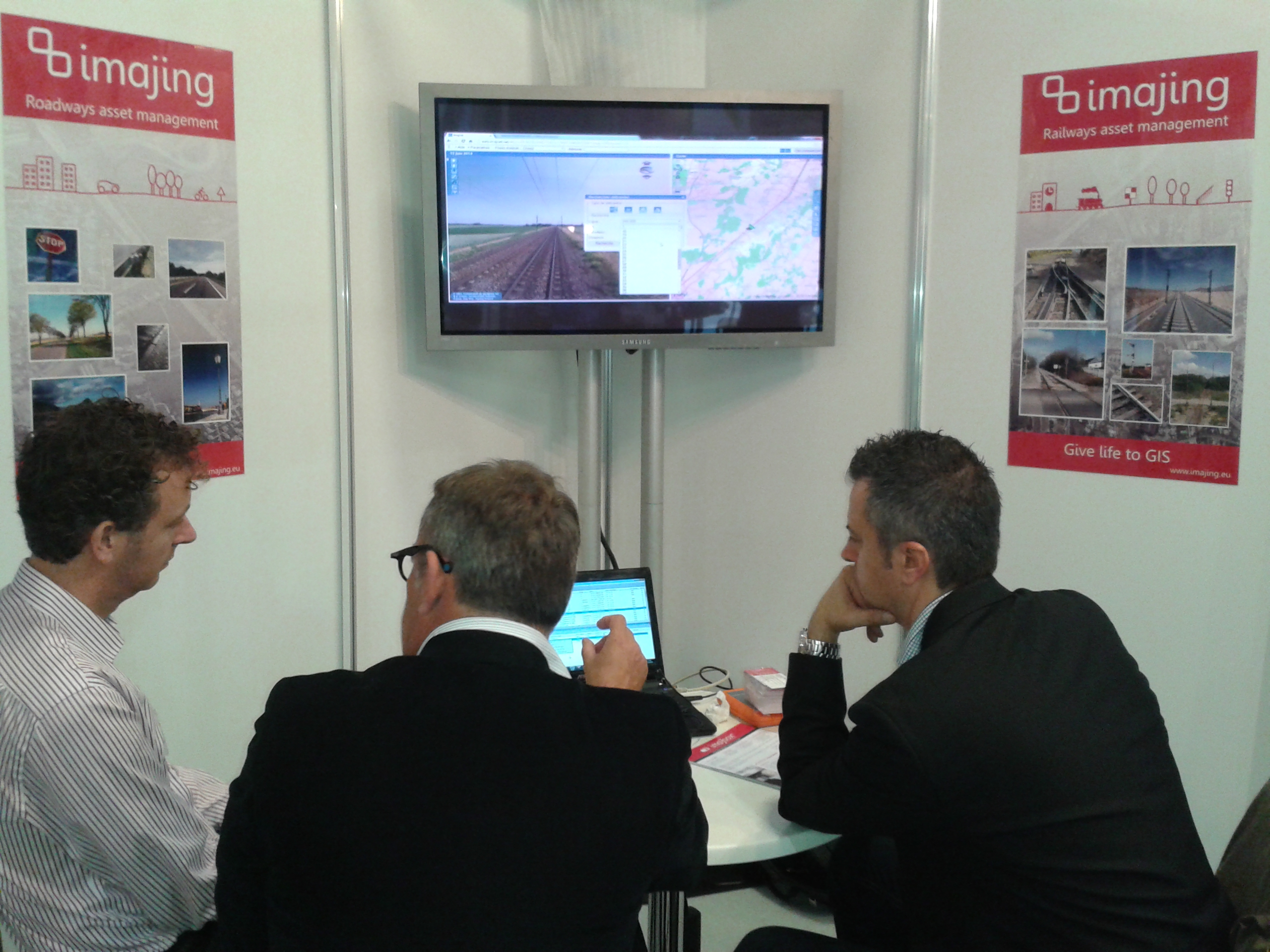
imajing® was exhibiting at Intergeo 2014
For the 6th consecutive year, imajing exhibited at Intergeo 2014 trade show in Berlin, Germany from the 7th to the 9th of October. More than 16,000 visitors coming from 92 countries attended the event.
Many interesting and promising contacts where made with European, North American, African and Asian companies. imajing keeps considering Intergeo as the reference for geoinformation and land management, and will be exhibiting in 2015.
|
Product ----------------------------------------------------------------------------------------
imajview enables multiple view of a corridor with the ViewCompas function
imajview, photogrammetric and GIS software, now integrates a very convenient functionality to work with different angles of view surveyed by imajox within a project.
Thanks to an OrientationCompas tool – visible at the top righ of the video – the user can easily change the point of view and switch from a sequence to another one, which was surveyed on a same road.
This enables to use several imajbox synchronized and oriented in different directions, in order to have a confortable view of the network when processing data with imajview.
This evolution is very appreciated by service companies producing a large amount of data and owning several imajbox.
|
|
|
|
|
|
.jpg)
.jpg)